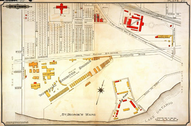
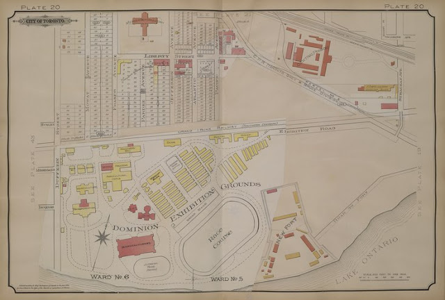
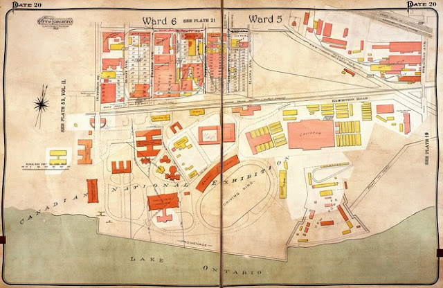
Atlas of the City of Toronto and Vicinity from Special Survey founded on registered plans and showing all building and lot numbers, Plate 20, various editions, by Charles E. Goad, Toronto.
1884. Image courtesy City of Toronto Archives
1894. Image courtesy City of Toronto Archives
1903. Image courtesy Library and Archives Canada: NMC25641
1913. Image courtesy City of Toronto Archives
1924. Image courtesy City of Toronto Archives
Next Chapter: Aerial Photographs
Back to: Liberty Village


